

ORLANDO, Fla. – Skies stay mostly clear Thursday across Central Florida, with just a few morning clouds and some high clouds later.
[Watch Candace Campos’ video forecast below]
Temperatures are expected to warm into the upper 80s inland and the upper 70s along the coast.
Through the afternoon, the breeze will pick up off the ocean, with gusts reaching 15–20 mph.
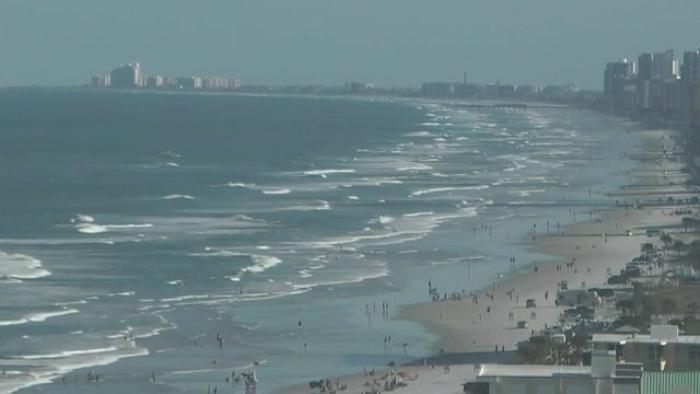
If you are planning on enjoying the beaches, beware of rip currents as the risk remains high for the next few days.
A front lacking strength will move from the northwest, leading to a slight rise in moisture levels by Friday. This condition will create the possibility of a few coastal showers (20%) in the morning, while the majority of regions are expected to stay predominantly dry.
Ahead of the approaching front, the forecast calls for highs near 90 degrees.
The front’s slow movement will result in its presence over Central Florida until early next week, causing increased chances of rain and thunderstorms on Sunday and Monday due to the development of sea breezes.
Expect some lightning, gusty winds and heavy downpours at times.
The addition of rain and clouds should keep things a bit cooler with highs in the low 80s.
Rain chances become less certain by midweek, but temperatures remain seasonably warm.
Copyright 2025 by WKMG ClickOrlando – All rights reserved.