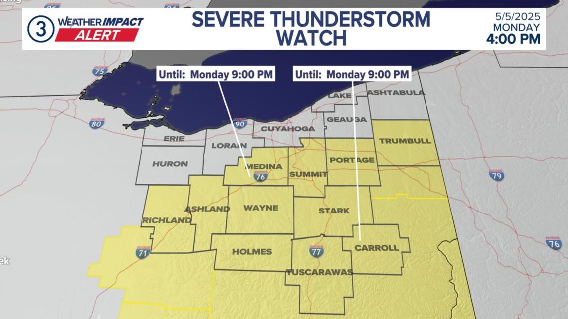

A total of 10 counties in Northeast Ohio are under a Severe Thunderstorm Watch through 9 p.m. this evening.
CLEVELAND — More severe weather is making its way into Northeast Ohio over the next few hours.
There is a Severe Thunderstorm Warning for the following areas in Northeast Ohio until 7:30 p.m.:
- Southwestern Stark County
- Wayne County
- Northeastern Holmes County
A severe thunderstorm was detected near Berlin at 6:40 p.m., which is about seven miles northeast of Millersburg. It is moving north at a speed of 25 mph. The storm has the potential to generate 60 mph winds and quarter-size hail.
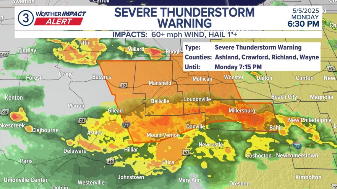
According to the National Weather Service, the below counties are under a Severe Thunderstorm Warning until 7:15 p.m. this evening:
- Richland County in north central Ohio…
- Ashland County in north central Ohio…
- Western Wayne County in northeastern Ohio…
- Northwestern Holmes County in northeastern Ohio…
By 6:29 p.m., severe thunderstorms were positioned in a line from Millersburg to near Loudonville and near Fredericktown. They were moving north at 40 mph. These storms also have the capacity to produce 60 mph winds and quarter-size hail.
The following counties in our area are under a Severe Thunderstorm Watch until 9 p.m. this evening:
- Carroll
- Holmes
- Medina
- Portage
- Richland
- Stark
- Summit
- Trumbull
- Tuscarawas
- Wayne
As our 3News Weather Team explained, the watch is focused on areas away from the lakeshore where temperatures were able to warm up through the day.
“All modes of severe weather are possible this evening. Keep yourself notified for alerts,” our team of forecasters is advising.
Specifically, the strongest storms are expected to move in after 10 p.m. Showers will clear before predawn Tuesday.