
The first cold front is moving from Tasmania to parts of South Australia and western Victoria from Saturday afternoon, bringing with it showers and isolated thunderstorms.
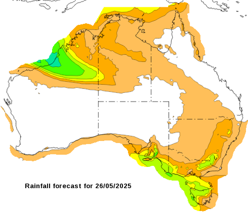
“These will include very broad areas, including much of south-eastern South Australia, Victoria and south-eastern parts of New South Wales.
Weakened trees from a dry autumn could cause a heightened risk of fallen trees and branches.
Across the SA coast, waves are tipped to exceed eight to 10 metres on Sunday and Monday, bringing hazardous coastal conditions from Port Lincoln through to the Gulfs and towards Victor Harbour.
Large swell will also impact Victoria’s south-western coast on Monday and head through to the east coast of the country on Tuesday.
Conditions will only clear from the middle of the week.