A clipper will bring widespread accumulations of 1-3 inches Wednesday night before lake snow kicks in for the primary and secondary snowbelts.
In Cleveland, the upcoming storm system will be a powerful clipper moving across the Great Lakes region. This weather event will bring not only snow but also increasing winds, which will push lake-effect snow further into Northeast Ohio on Thursday.
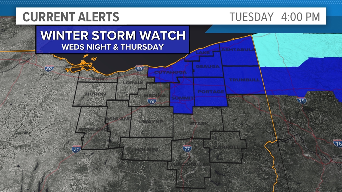
We’ve declared a Weather Impact Alert for Wednesday night and Thursday. In addition, Ohio Gov. Mike DeWine has declared a state of emergency for Ashtabula, Cuyahoga, Geauga, and Lake counties.

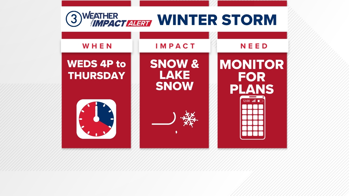
You’ll note that the timing begins around 4 p.m. tomorrow afternoon. The most impactful weather will likely start later, but there’s plenty to talk about.

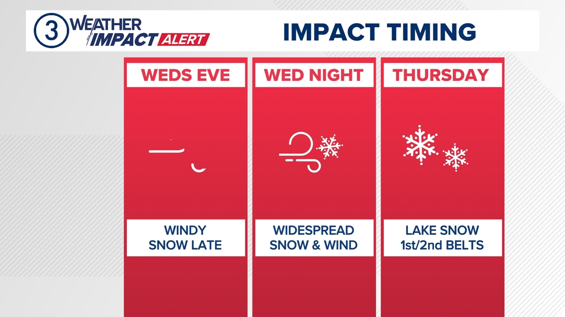
The wind will be picking up through the day Wednesday, and ultimately that evening we’ll be taking gusts over 40mph. The wind will remain gusty through Thursday.
The snow will pick up in coverage and intensity late Wednesday evening and continue Wednesday night. Roads could quickly become snow-covered, and blowing snow will be an issue.

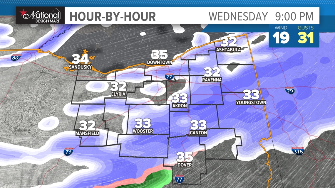
Overall, a general 1-3 inches of snow accumulation is possible across the ENTIRE area.

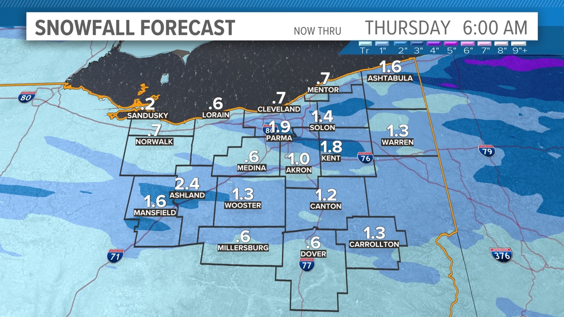
THEN the lake gets into the action. Those same gusty winds will turn northwesterly, and that will mean lake-effect snow for the primary AND secondary snowbelt. This is why the winter storm watch is for the snowbelts.
Word of caution to those in Lorain and Medina counties: Depending on how the lake bands set up, you could be ADDED to an advisory or warning tomorrow.

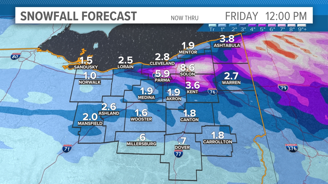
This IS lake-effect, and that means there WILL be adjustments as this event gets going. But for now, here is an idea of the snow we could be looking at, all told

Please keep an eye on WKYC.com and the WKYC app for the latest on this forecast.
