

More than 1.4 million Kentucky residents received alerts about an imminent tornado set to hit part of the state Thursday.
The NWS issued a watch for 22 counties until 11am ET, where several schools lie in the potential path of the vortex.
These counties on alert are Johnson, Martin, Laurel, Mccreary, Pulaski, Rockcastle, Wayne, Whitley, Bell, Floyd, Knott, Letcher, Perry, Breathitt, Harlan, Knox, Magoffin, Pike, Clay, Jackson, Leslie, and Owsley.
An ‘immediate broadcast’ of Tornado Watch 3 was sent out by the National Oceanic and Atmospheric Administration at 6:10am ET to warn residents of the impending severe storms.
Many of the counties are now under flash flood warning due to the heavy rainfall that sweeped the region.
‘Some locations that will experience flash flooding include Whitesburg, Hyden, Letcher, Jenkins, Elkhorn City, Fleming-Neon, Vicco, Blackey, Cornettsville, Ulvah, Daisy, Bluefield, Arminta,Red Star, Sassafras, Hallie, Viper, Gander, Jeff and Slemp,’ NWS stated.
The flash flood warning will remain in effect until 12pm ET for central laurel, northern Cay and southeastern Jackson counties. The warning is in place until 1pm ET for southeastern Clay, south central, knott, central Leslie, Letcher, southeastern Perry and southwestern Pike counties.
The agency warned residents to turn around on roads that appear flooded to avoid drowning as ‘most flood deaths occur in vehicles.’
Emergency officials issued a shelter in place for residents in the Enslow Park community early Thursday, telling those who live in the area to prepare to seek high ground if possible, FOX 11 reported.
The NWS stated thunderstorms are expected to continue overnight, threatening the region with more damaging winds, hail and tornadoes.
‘Additional rainfall could result in flooding issues as well,’ the agency shared.
However, this part of Kentucky is set for another round of storms on Saturday afternoon into the evening.
And wintry weather is possible for early next week, although confidence in specific details remains low.
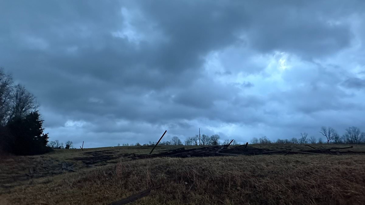
Residents in the counties under watch share pictures of the incoming storm, revealing a dark, ominous sky in the early morning.
The wind has already picked up as well, damaging farms and carrying debris away.
‘A Tornado Watch means conditions are favorable for tornadoes and severe thunderstorms in and close to the watch area,’ NOAA shared.
‘Persons in these areas should be on the lookout for threatening weather conditions and listen for later statements and possible warnings.’
The last tornado to rip through Kentucky hit in April 2024, sparking a state of emergency following the severe storms and tornadoes that came.
A young man died in a car accident during the storms in Campbell County, Kentucky, just outside of Cincinnati, Governor Andy Beshear confirmed in a briefing.
Lexington, Kentucky Mayor Linda Gorton told local ABC affiliate WLEX-TV that a tree fell on someone’s house, injuring them and sending them to the hospital.
A tree toppled onto a University of Kentucky student’s car, causing damage to homes.
‘I looked out my blinds and I see the wind just start roaring,’ Reese Sherrard told WLEX. ‘I see one big tree just fall right on top of my car. No trees fell on our house, so it seems like we got pretty lucky.’
But in 2021, at least 80 people were killed during the weather event that happened on December 10 to 11.
That shattered the prior record for the deadliest tornado in Kentucky history, set in 1890 when a twister killed 76 in the Louisville area, according to NWS records.
One tornado among the dozens that struck was estimated to have a damage path of more than 200 miles, which would approach or exceed the all-time global record.
Survivors of the deadliest twister in Kentucky’s history described the harrowing ‘screams of people’ as they lay cowering in devastated factories and homes during the storm.
One twister carved a track that could rival the longest on record, as the stormfront smashed apart a candle factory in Kentucky, crushed a nursing home in Arkansas and flattened an Amazon distribution center in Illinois.
At least eight people were killed in the candle factory when the tornado rampaged through the small town of Mayfield, bringing the walls crashing down and tearing the roof off.
.