
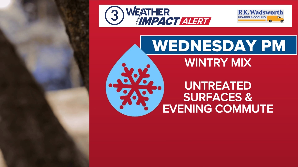
A new weather system is expected to arrive in Cleveland later on Wednesday, prompting the issuance of a Weather Impact Alert for the region. The alert will be in effect from Wednesday evening through Thursday morning. Commuters can anticipate messy weather conditions during the Wednesday evening commute, with the possibility of icy and slick roads lingering into Thursday morning.
This upcoming system is forecasted to be significant, and monitoring its track will be crucial. Current projections suggest that the area will experience a transition in precipitation types. Initially, there may be snow and sleet near the lakeshore, evolving into a mix of wintry elements and freezing rain further south. Temperatures are expected to hover around freezing during the evening commute, potentially leading to traffic delays.

Throughout the evening and early overnight hours, temperatures will gradually rise. Once temperatures climb above the freezing mark, any mixed precipitation will turn into plain rain. By late night, temperatures are likely to reach the low 40s before a cold front sweeps through the area. While this front will usher the bulk of the precipitation away, it will also bring a drop in temperatures. Subsequently, temperatures will fall back to near or below freezing by Thursday morning, possibly causing areas of standing water to freeze and create hazardous conditions.
Additional weather arrives for the weekend. The track will be important for this as well. It looks like a wintry mix for Saturday that transitions to snow for Sunday. More on that as we get closer.