The lake-effect machine was cranking throughout the last several days, with some areas seeing more than 5 feet of snow.
CLEVELAND — Now that the lake-effect snow is done, how about we talk some totals?
This event spanned several days, leading to a significant accumulation of snow in the primary snowbelt regions. Intense lake-effect bands formed, causing snowfall rates to exceed 2 inches per hour.
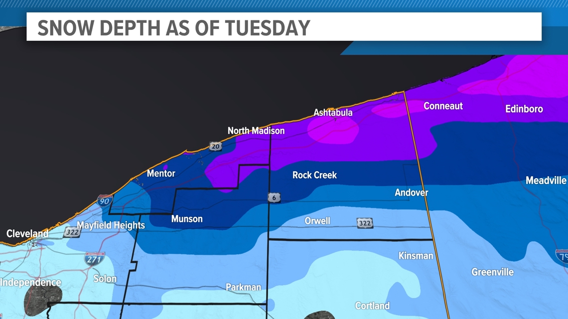
The areas most severely impacted included Lake County, Ashtabula County, and northern Geauga County. Saybrook Township in Ashtabula County emerged as the most heavily affected, receiving a staggering 61.7 inches of snow, equivalent to over 5 feet!
Just 6 miles away, Geneva got 49 inches, a difference of about 2 inches per mile.
Located approximately 20 miles southeast of Saybrook, Andover experienced a milder impact due to its distance from Lake Erie. They accumulated only 6.3 inches of snow, highlighting a noticeable difference in snowfall rates per mile compared to areas closer to the lake.
Everywhere along and south of U.S. Route 6 in southern Ashtabula County came in with under 1 foot.


All of Lake County was pummeled with snow during this event. Almost every report location in the county came in with over a foot of snow. The northern 2/3 of the county had over 2 feet, and the highest total came in for North Madison. They had a whopping 45 inches.
Areas of far northern Geauga County managed some decent numbers. South Thompson came in with 22.6 inches. Totals fall off drastically from north to south across the county, and some locations in far southern Geauga County barely managed a dusting.


Yet Cleveland Hopkins International Airport, where all of the official records are kept, came in with a whopping 0.1 inches on Thanksgiving, and nothing more than a trace since.
That’s all the glory of lake-effect snow! There’s a reason Lake, Ashtabula, and Geauga counties are considered the primary snowbelt.


