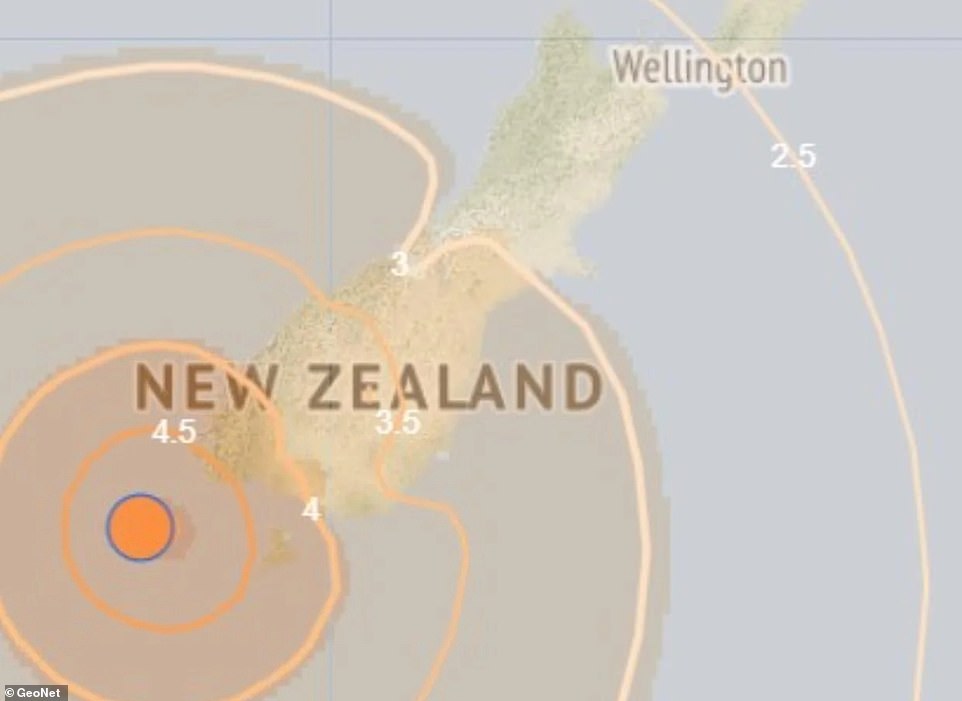

A powerful 6.7 magnitude earthquake occurred off the coast of New Zealand’s South Island, creating concerns about a potential tsunami. This event, which happened at 2.42 pm (NZDT) on Tuesday, took place at a depth of 12 km approximately 160 km northwest of Snares Islands. The earthquake was strongly felt by numerous individuals in the surrounding area.

The National Emergency Management Agency in New Zealand issued a warning advising residents in nearby areas to avoid beaches. They specifically mentioned that individuals in Southland and Fiordland should steer clear of beach and marine locations due to possible strong and unusual currents that could pose risks. The agency emphasized the dangers of strong currents, surges, and the potential for harm to swimmers, surfers, fishermen, and anyone near the water close to the shore.

Furthermore, an update at 4 pm local time reiterated the importance of moving away from the water, beaches, shore areas, harbors, marinas, rivers, and estuaries for individuals in or near the sea. The advice urged people to stay out of the water and maintain a safe distance from coastal areas to ensure their well-being in light of the seismic activity.

The risk of dangerous and unusual currents is expected to diminish after 8pm local time. There is no official evacuation warning for the area, but NEMA is advising residents to self-evacuate in the case of ‘immediately from all places near the coast where the earthquake was felt either for longer than a minute OR was strong enough that it was hard to stand’.

‘In these areas a tsunami may have been generated and may arrive quickly, so evacuate immediately to the nearest high ground, out of all tsunami evacuation zones, or as far inland as possible.’ Government seismic monitor Geonet said more than 4,700 people would have felt the earthquake. Local media published reports of furniture falling and buildings swaying near to the earthquake zone.

‘We had things fall off shelf. The outdoor wooden table dancing,’ one local wrote on Facebook. A coastal sea-level gauge reportedly recorded a 10cm tsunami which lasted for 90 minutes after the earthquake in southwest Fiordland, on the South Island’s southwestern tip. Bureau of Meteorology advised there is currently no tsunami threat to Australia following the earthquake.

The earthquake struck near the tectonic plate boundary where the Australian plate scrapes under the Pacific plate in an area known as the Puysegur Trench. Scientist know comparatively little about the region.

‘This area is actually very poorly understood,’ Seismologist Dr Finn Illsley-Kemp told the NZ Herald ‘There’s been far less research done here compared to other regions, leaving many unknowns about the exact tectonics – but it’s hosted some of our biggest earthquakes.’

Want more stories like this from the Daily Mail? Hit the follow button above for more of the news you need.