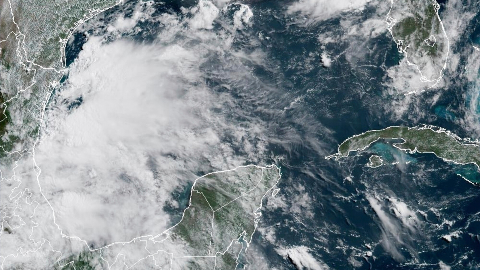

MIAMI — Tropical Storm Barry formed Sunday near Mexico’s southeast coast and is expected to drench the region for several days.
The center of the storm was positioned approximately 90 miles (140 kilometers) east-southeast of Tuxpan, Mexico, and about 165 miles (approximately 265 kilometers) southeast of Tampico, Mexico. This information was reported by the U.S. National Hurricane Center in Miami.
It had maximum sustained winds of 40 mph (65 kph) and was moving northwest at 6 mph (9 kph).
A tropical storm warning is in effect for the coast of Mexico from Boca de Catan southward to Tecolutla.
The storm is anticipated to slightly intensify before making landfall on the southeastern coast of Mexico. However, a rapid weakening of the system is expected once it moves inland.
Meteorologists have predicted that the storm may bring three to six inches (eight to 15 centimeters) of rainfall, with isolated areas receiving up to 10 inches (25 centimeters) across Veracruz, San Luis Potosi, and Tamaulipas by Monday.
Meanwhile, Tropical Storm Flossie formed off Mexico’s southwest coast. It was located about 240 miles (390 kilometers) south of Acapulco and was moving west at 9 mph (15 kph) with maximum sustained winds of 40 mph (65 kph).
A tropical storm watch was in effected for Mexico’s southwest coast from Zihuatanejo to Cabo Corrientes.
Flossie is expected to become a hurricane on Monday or Tuesday, but remains in open waters just west of Mexico.
Forecasters said the storm could dump three to six inches (eight to 15 centimeters) of rain with an isolated maximum total of 10 inches (25 centimeters) across parts of Oaxaca, Guerrero, Michoacán, Colima, and Jalisco through early next week.