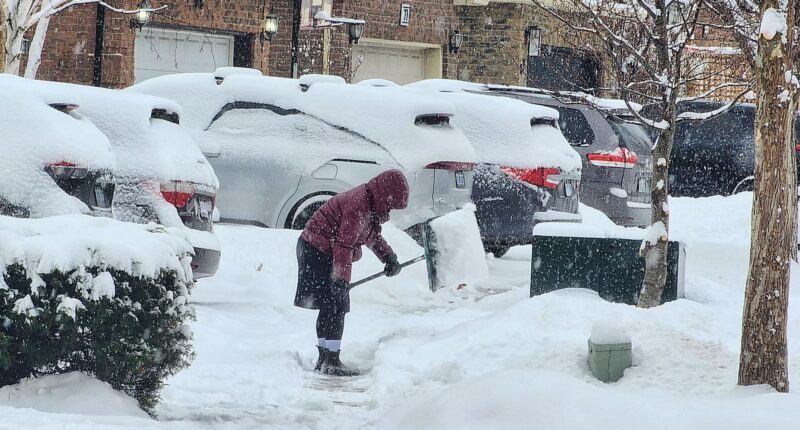
A series of winter storms is set to swamp most of the US with rain, snow, landslides, and countless travel delays.
Meteorologists are predicting more severe weather for the following week, following a series of winter storms currently impacting 40 states and around 200 million people.
The West Coast is expected to face heavy rains and severe floods from the Pacific, while those in the central and eastern parts of the country will contend with additional hazardous ice and snow.
In California, an ‘atmospheric river’ may bring further devastation to Los Angeles, while meteorologists are cautioning about another winter storm that could disrupt thousands of weekend flights across the country.
New forecasts for severe flooding are signaling imminent danger for Californians still recovering from devastating wildfires across the Los Angeles area.
AccuWeather’s Ariella Scalese warns that heavy rains moving in Wednesday night and continuing into Friday may bring up to eight inches of rain to several parts of the state.
‘A general 2-4 inches of rain will fall along the lower elevations of the California coast but with 4-8 inches in the west- and southwest-facing slopes of the coastal mountains,’ the on-air meteorologist said.
The major West Coast storm is reportedly ‘packing a plume of moisture’ that is developing into an ‘atmospheric river’ set to flood California’s coastal cities, including Los Angeles.

Meteorologists predict that California may see up to 8 inches of rain in certain areas due to an ‘atmospheric river’ sweeping through the state this week.

San Diego, Oceanside, and Los Angeles may all see heavy flooding starting Wednesday night. LA areas destroyed by wildfires may also experience mudslides and hillside collapses.

Mudslides, flooding, and hillside collapses are part of a dangerous forecast for southern Californians in the path of an ‘atmospheric river’ this week.
Still reeling from the widespread destruction of the recent wildfires, forecasters are warning that the atmospheric river is likely to trigger disastrous flash flooding, mudslides, and hillside collapses, especially in Los Angeles’ ‘burn scars.’
Burn scars refer to the city’s scorched areas of land, mostly in the area’s mountainous regions.
Dan DePodwin, AccuWeather’s senior director of forecasting operations, explained that, ‘There is little to hold back the water and mudflows as the onset of storms demonstrated in late January.’
In the central and eastern parts of the US, more frigid winter weather is also threatening to wipe out hundreds of flights through Sunday.
Over 2,500 flights are projected to be cancelled between Friday and Sunday due to an approaching winter storm.
Winter Storm Iliana is already sweeping through the Midwest, dropping up to six inches of snow in parts of Kansas, Nebraska, and Iowa.
That storm is set to barrel into the Great Lakes and Northeast late Wednesday night into Thursday, delivering snow and high winds in Chicago, Detroit, and Milwaukee, before moving into New York City and Boston with a wintry mix of rain and snow.
AccuWeather predicts that 1,000 flights could be grounded on Thursday alone due to Winter Storm Iliana.
Most regions in the storm’s path will see between three and six inches of snow, but several pockets of the Midwest and southeastern Canada – including Toronto, Ottawa, Montreal, and Quebec City – could get up to 12 inches.

Winter Storm Iliana and another weekend storm could combine to ground thousands of flights throughout the Midwest, Northeast, and Canada.

The third of three winter storms moving through the US this week is set to bring more ice and snow to the Midwest and Northwest over the weekend, potentially cancelling up to 1,500 flights on February 16.

Parts of the Midwest, Great Lakes, and Canada could see as much as 12 inches of snow before the next winter storm moves in this weekend.
Once Iliana clears out on Thursday, meteorologists say another winter storm event is developing right on its heels.
The new weather system is developing farther south in the Central US, with forecasters saying it’ll likely sweep across the same states Iliana plowed through.
The AccuWeather team notes that this weekend storm could be the strongest of the trio wreaking havoc across the country this week.
Meteorologists are attributing all of this winter misery to the positioning of a jet stream that is funneling the storms across the country and into the Northeast.

A jet stream locked in a straight line across the US has been consistently funneling winter storms from the Plains into the Northeast.

Meteorologists are predicting even more bad weather for next week, including freezing cold temperatures far below February averages.
According to CNN, this river of air in our atmosphere is currently locked in an almost perfect line across the U.S., flowing from west to east.
This has kept temperatures down and the conditions just right for dangerous rain, sleet, and snow.
The forecast for the following week isn’t looking any better for Americans in the northern portion of the country.
At least two more winter storms will likely blanket the Plains and East Coast with extreme cold temperatures, ice, and more snow.
AccuWeather’s chief on-air meteorologist, Bernie Rayno, said, ‘There’s probably going to be a major storm next week, thanks to a strong injection of Arctic air over the northern Plains.’
‘The question is does that storm try to track up along the Atlantic coast or head more to the east, across the Southern states and then out to sea.’


