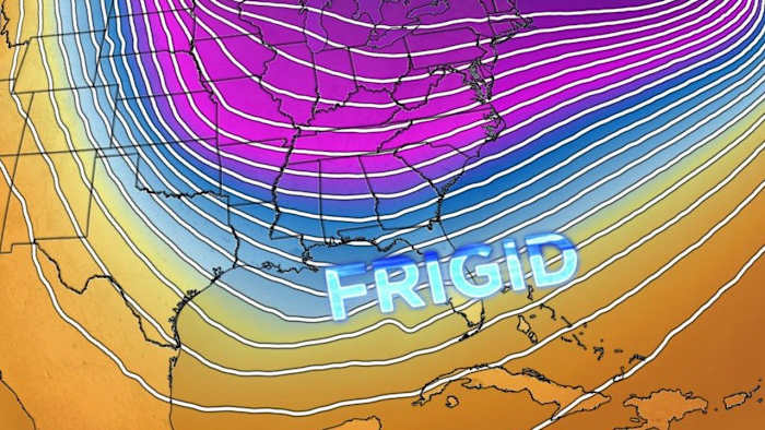
ORLANDO, Fla. – Central Florida is about to experience a series of cold fronts over the next two weeks, bringing much colder weather that deviates from the usual temperatures for this region.
THIS WEEK:
A high-pressure system is moving in across the southeast U.S., introducing cooler and drier northerly winds. Daytime highs are forecasted to be slightly below average, ranging in the mid to upper 60s with mostly clear skies.
As night falls, temperatures are expected to drop even further. Inland areas can anticipate lows in the range of the low to mid 40s, and some areas north of I-4 may even see temperatures in the upper 30s.
Our first of the series of fronts arrives late Friday, ushering in even colder air for the weekend.
WEEKEND:
Saturday will be much colder, with highs around 10 degrees below normal, reaching the low to mid 60s, except across northern counties, where it’ll stay in the upper 50s.
Saturday night will be the coldest of the weekend, with lows in the mid 30s to low 40s inland, and in the 40s along the coast. Light winds will limit how much colder it feels, but frost is likely in the interior, especially north of I-4, where temps will dip below 40. Frost is expected to be most widespread in northern Lake and NW Volusia counties.
By Sunday, high pressure will shift out of the south, which will warm things up despite the chilly start. Sunday afternoon’s highs will be closer to normal, reaching the low 70s.
NEXT WEEK:
The first full week of the year will start of a bit warmer than normal in the mid 70s as we await the approach of our second front with highs in the mid to upper 70s with a 10-20% chance of rain.
After the front passes, colder and drier air will move in through midweek with highs in the mid to upper 50s and lows into the upper 30s to low 40s Tuesday and Wednesday.
NEXT WEEKEND:
Looking long range, models are picking up a much stronger punch of arctic air arriving late next week. This front has the potential of grabbing additional moisture in the Gulf increasing rain chances before plummeting temperatures by next weekend.
Some models suggest highs staying in the 40s with lows possibly dipping below freezing for a big part of our area. Stay tuned as we continue to iron out specifics on the rain, the timing and those temperatures.
Copyright 2025 by WKMG ClickOrlando – All rights reserved.
